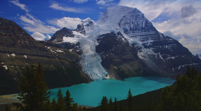
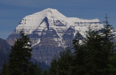
A few days of R&R and some substantial driving following our kayaking adventure in Desolation Sound, we kicked off a 4 day backpacking trip in the Berg Lake area of Mount Robson. Coming from the south and west, Mount Robson remains well hidden amongst other mountains until a turn in the road suddenly reveals this snow covered giant (it is the highest mountain in the Canadian Rockies, at over 13,000 feet high). It looks huge, is huge, and every tourist on the road promptly screeches to a halt in the layby to take a better look. Explorers 150 years before us described it as a “giant amongst giants” and they were spot on – it really hits you between the eyes on a clear summer day.
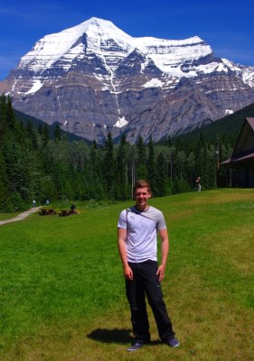
After registering for our trail passes at the information centre and watching the obligatory video on 10 ways to die/100 things not to do in the park we were set free to find our way into the backcountry of the Rockies, hopefully avoiding the bears along the way.
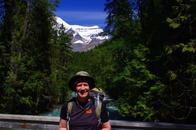
It was early afternoon and very hot as we made our way along the first few miles of the trail, weighed down by our rucksacs but otherwise happy enough on a fairly easy track. Up to Lake Kinney it was fairly busy, mainly with day hikers returning to the car park, but from there on it was quiet with only the occasional backpacker all the way up to the campsite at Whitehorn. At the 11km mark this campsite is not too far along the trail and I’d originally planned on heading straight in to Berg Lake, but the damage done from a broken leg back in March made a reassessment seem sensible, and I was quite glad to split the journey in over a couple of days.
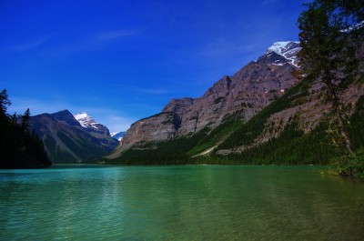
I wouldn’t say Whitehorn was an exceptional location, but it does exemplify the care that BC Provincial Parks take with their campgrounds – each tent pitch is set out nicely with a proper tent pad and access is controlled to prevent overcrowding. I have to say that I was consistently more impressed with the Provincial Parks such as Desolation Sound and Mount Robson than with the National Parks like Jasper and Lake Louise.
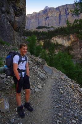
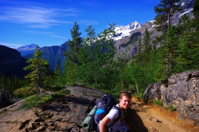
Day 2 meant a steep hard climb from Whitehorn to Berg Lake, past a series of waterfalls (“Valley of a 1000 falls” is the exaggerated official name!). The most impressive of these is the Emperor Falls, and the cooling spray from this was most welcome after a long slog up the hill.
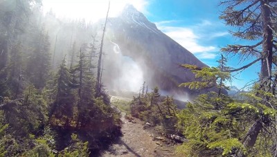
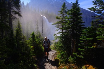
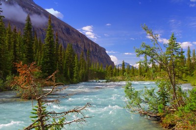
Twenty minutes later we burst out into the flat open braided streams just downstream of Berg Lake and into the full heat of the sun as we made our way along the rocky trail. By now Robson was truly dominating the skyline, almost 3km above our heads.
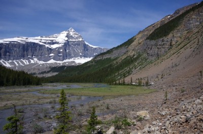
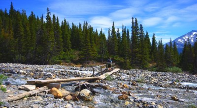
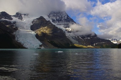
Berg Lake gets its name from the small icebergs that calve off the Robson Glacier as it runs into the water, and over the next few days we were treated to the regular rumbles and thunderous noise of ice protesting as it was forced down the mountain side. Being fed by meltwater also gives the lakes the very distinct turquoise colour as light reflects off minute particles of silt ground down by the ice and suspended in the water.
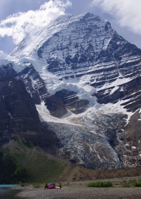
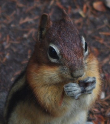
We set up camp for a couple of days at the Berg Lake campground, on a tent pad with a spectacular view of Robson, and close to the river below. A short snooze later and we were climbing well up the trail above Berg Lake, making for the Toboggan Falls and the Mumm Basin beyond. It was extremely hot in the sunshine and we were using water at an alarming rate, so we dropped the more ambitious plan of completing the Mumm basin trail (which would have taken several hours) and turned back an hour or so above the Toboggan Falls. Even at this point we were above the tree line and could see the route of the Snowbird Pass on the valley opposite us – our target for tomorrow.
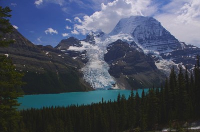
Day 3 saw us going for my personal goal – the Snowbird pass. This 23 km trail only opens on the 1st July each year and we went for it on the 3rd. The first few km are very easy, flat, walking but you then start to climb up the side of the Robson Glacier moraine which is pretty hard going even in the morning sunshine.
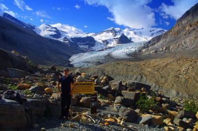
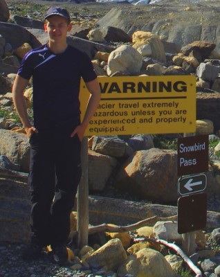
Once on top of this huge lateral moraine, you try not to stumble over the edge as the trail takes you along the steep and pretty unstable scree slopes. Most of the trail is fairly well marked, but there are a couple of areas where it’s both easy and dangerous to lose your way – I’d be wary here if the weather turned poor! It’s easy to see why the trail is described as “challenging”
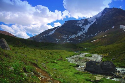
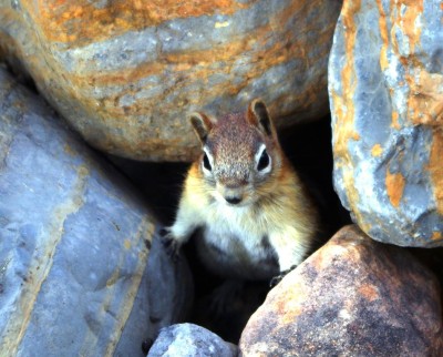
That said, the lush and very green alpine valley at around 6,500-7,000 feet is both a surprise and stunningly beautiful. We saw quite a bit of life here, mainly marmots and ground squirrels, but the valley is also a caribou calving area and has a population of wild goats.
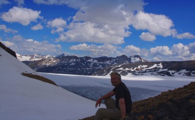
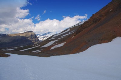
The reddish, bare scree of the actual top of the pass can’t quite compare to the valley below, but it does afford a spectacular view of the Reef Icefield beyond the crest of Snowbird. At 8000 feet it was a little chilly even in the sunshine so we didn’t linger too long before starting the long trek downhill.
Next day saw us break camp and prepare for the hike back to civilisation, some 21km away. Robson’s peak was covered in cloud, but I managed a few shots of the icebergs drifting across the lake as we marched along making good time for the first few km.
As the sun got hotter and the packs heavier we were glad to take the chance of a break where the forest and trail allowed – even with sore feet the whole place is simply awesome.
We were back at the trailhead for lunchtime, although definitely feeling the pace a bit and looking forward to a cold drink just down the road.
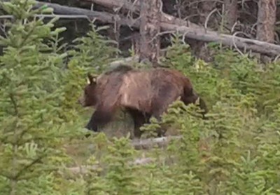
Wildlife-wise we didn’t see anything bigger than a marmot in Mount Robson, although a few bears did materialise as we headed south along the Icefields Parkway towards Calgary and our flight home.
